Land use acreage by category
Summarized acreage by land-use category (GIS-based).
Interactive view · select a time range below.
Generating insights...
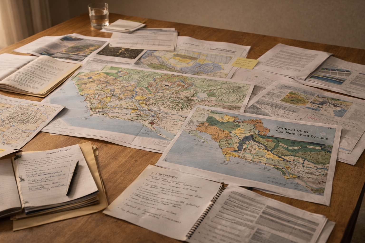
Zoning, planning milestones, and land preservation signals that shape Ventura County’s future.
Land use metrics
These metrics are built from free GIS datasets and planning releases. We will continue to expand coverage.
Land use acreage by category
Summarized acreage by land-use category (GIS-based).
Interactive view · select a time range below.
Planning permits (monthly)
Permit activity from county planning datasets.
Interactive view · select a time range below.
General Plan milestones
Milestone tracking (manual import).
Interactive view · select a time range below.
Agricultural land preserved
Protected acreage over time (GIS-based).
Interactive view · select a time range below.
Data sources
GIS and planning datasets are imported from public sources (Ventura County RMA, LAFCo, Cal Fire, OEHHA).
Local CSV Imports
Cadence: Manual · Latest data: Dec 31, 2025 · Checked: Dec 31, 2025